The map above shows most of the identifiable landmarks that I'm able to see along the horizon from my perch in McLean, VA (the pin farthest to the left). The most distant landmark I've been able to identify is the triple antenna array of WTOP in Wheaton, MD (the pin farthest to the north). As the crow flies, it's almost 12 miles away. (Sorry, the above is not an interactive map.)


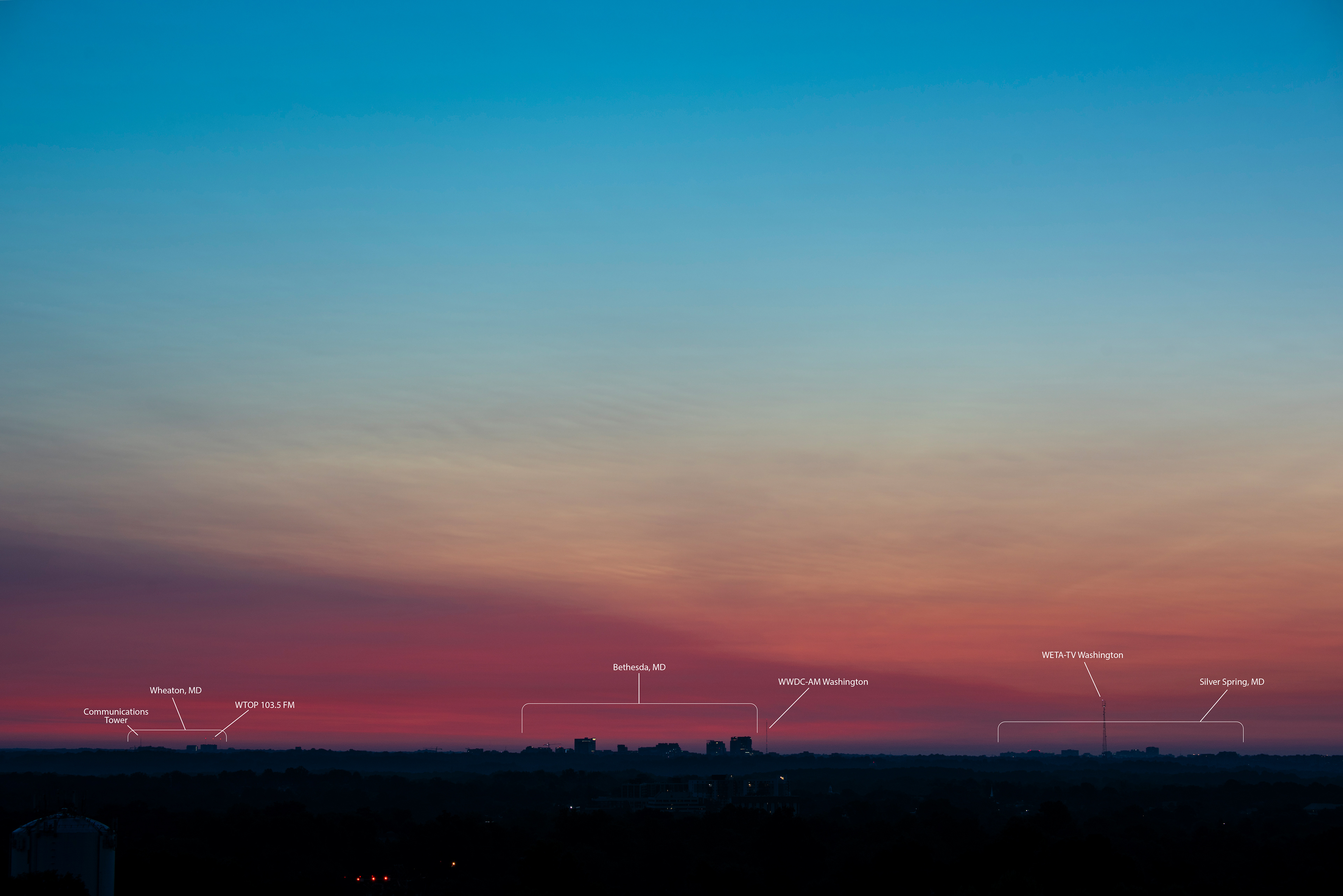
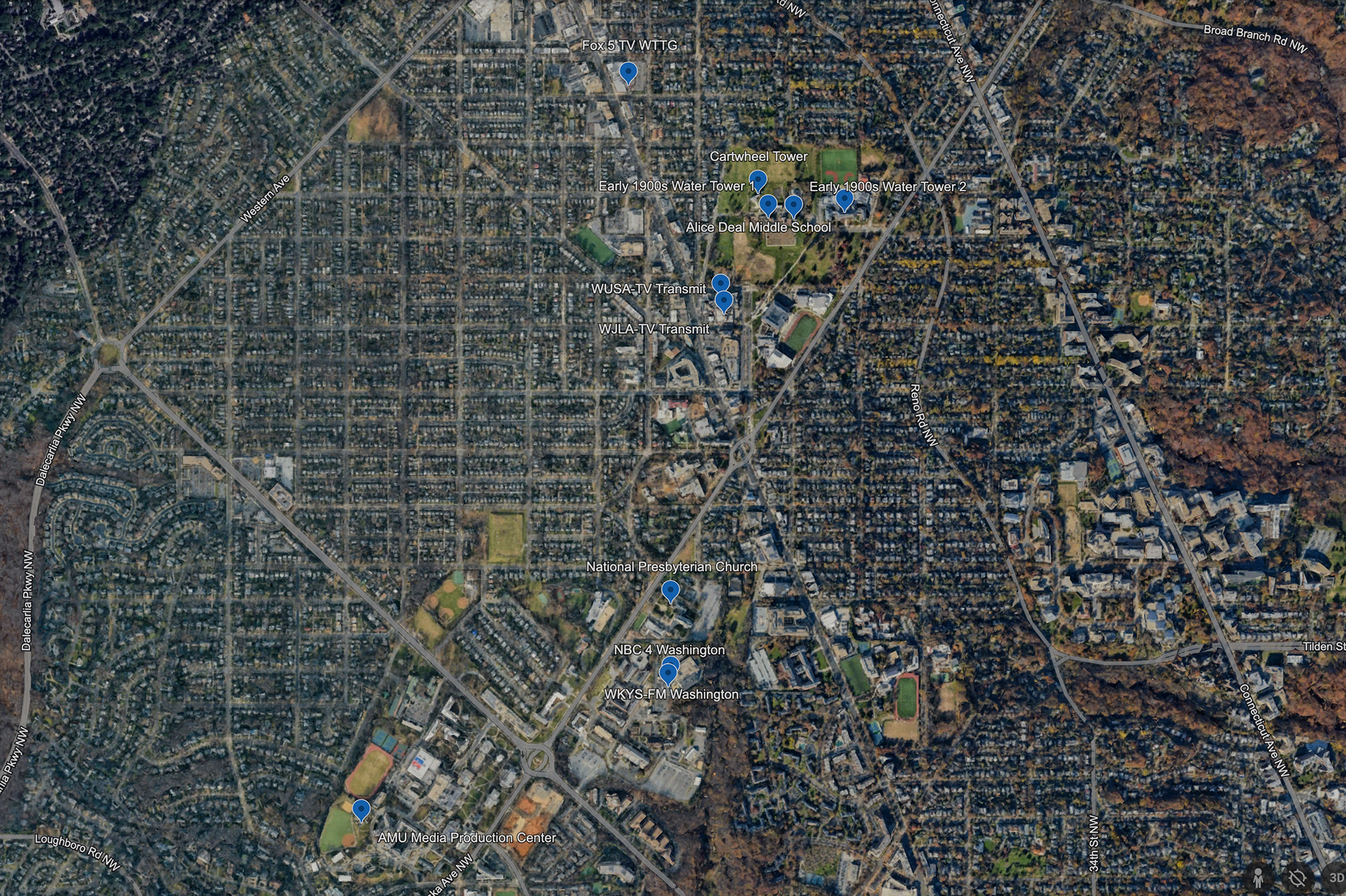
Above are the northernmost landmarks I'm able to see, including the Maryland boroughs of Wheaton, Bethesda, and Silver Spring. Sample image on the left; map of their respective locations on the right.


The biggest cluster of landmarks is along the Wisconsin Avenue corridor. This corridor is the most developed portion of a natural ridge between the Potomac River and Rock Creek. There are few other Maryland landmarks tall enough, or at a high enough elevation, to be seen beyond that ridge.


Without question, the most prominent landmark on the horizon is the National Cathedral. It dwarfs everything else. Heading a little farther south down Wisconsin is what I think might be the Embassy of the Russian Federation. (Not 100% sure on that though.)


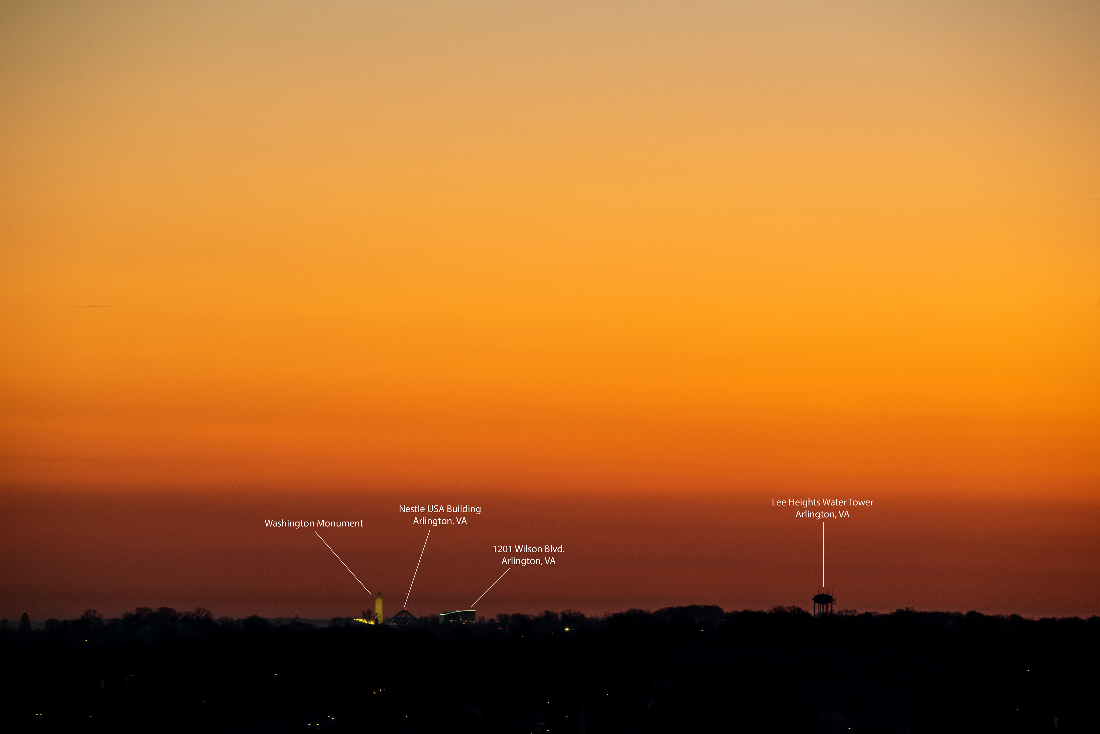
The Washington Monument is indeed one of the tallest structures in DC, but there's a ridge of land between it and me that hides most of it. Plus it's rare that the lighting works out in such a way that I can capture it lit up like the above sample image. Most of the time it's in silhouette, and not significantly more prominent than any other building.


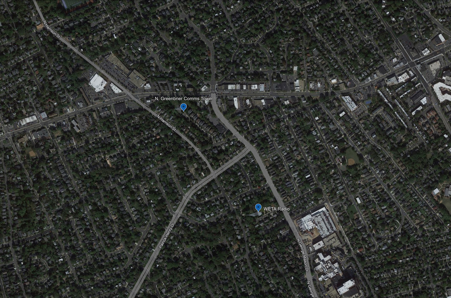
Lastly, the above two communications towers are the southernmost landmarks that are relevant to my project. There's not a whole lot farther south that's visible to me from my window, and the sunrise of the winter solstice occurs just a little to the right of the WETA tower seen in the above sample image.